Netarhat is the nearest true hill station to Ranchi - 156 km and about 4 hr 30 min away, at about 1,100 m against Ranchi's 651 m and about 3°C cooler - because nothing within 100 km of Ranchi is higher ground: Hazaribagh is about 610 m, McCluskieganj 450-490 m and Patratu lower still, while Parasnath (1,365 m), the state's highest point, is a pilgrimage trek rather than a hill station; Raahi Saarthi runs Netarhat as a 2-day package from ₹6,499 for a sedan.
Lists of hill stations near Ranchi often put Patratu, Hazaribagh and McCluskieganj alongside Netarhat, but none of the three is higher or cooler than Ranchi itself. Ranchi sits high on the Chota Nagpur plateau, so a place has to climb well above 651 m to feel different. This guide ranks the candidates by the two numbers that decide it - height and distance - and says what each one really is.
Netarhat: the one true hill station near Ranchi
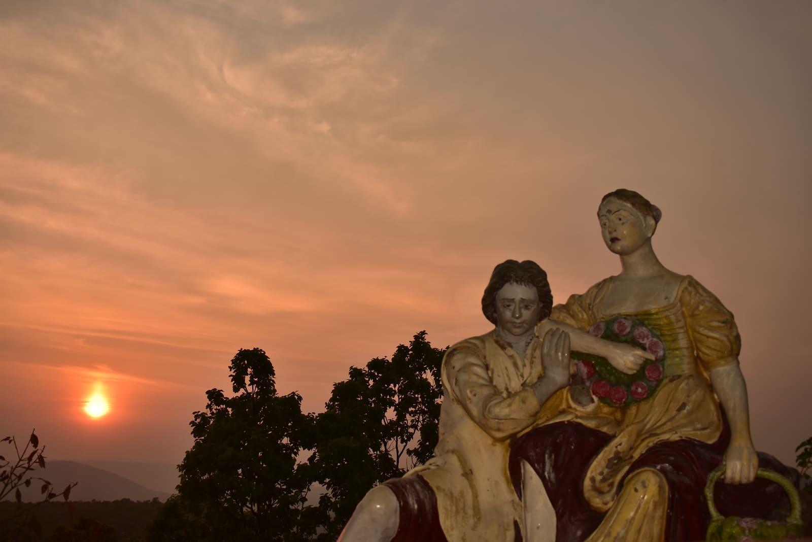
Netarhat is 156 km west of Ranchi, about 4 hr 30 min by cab through Bero, Lohardaga, Ghaghra and Bishunpur, with the climb up the Banari ghat in the last 15-20 km. At about 1,100 m - Jharkhand Tourism gives about 3,622 ft, Wikipedia 1,128 m - it is the highest town in Jharkhand and runs about 3°C cooler than Ranchi in every month, by day and by night. It is a hill station in the full sense: a town to stay in, government hotels, the Magnolia Point sunset and a sunrise point, pine forest and waterfalls. Because the point of going is a sunset and the next sunrise, it is a two-day trip; our 2-day Netarhat plan (Netarhat Tour Plan for 2 Days: Itinerary & Budget) has the itinerary and the budget, and our coldest-places guide (Coldest Place in Jharkhand & Netarhat Weather) has its weather month by month.
Hill stations near Ranchi, ranked honestly by altitude and distance
If a hill station means somewhere noticeably higher and cooler than Ranchi, with a town to stay in, there is exactly one within a day's drive: Netarhat. Everything closer is at Ranchi's height or below it. That does not make them bad trips - Hazaribagh and McCluskieganj are good winter weekends - but they will not be cooler than the city you left.
| Place | Altitude | From Ranchi | Drive | What it really is |
|---|---|---|---|---|
| Ranchi (for reference) | 651 m (2,136 ft) | - | - | Plateau city; the summer capital of Bihar until 2000 |
| Netarhat | About 1,100 m (3,600-3,700 ft) | 156 km | About 4.5 hr | The only true hill station near Ranchi; about 3°C cooler than the city all year |
| Parasnath (Madhuban base) | Summit 1,365 m; Madhuban about 390 m | About 160 km (about 183 km via Hazaribagh) | 4-4.5 hr | Highest point in Jharkhand, but you sleep at the base and trek to the top |
| Dalma Top | 915 m (3,000 ft) | About 121 km | About 3 hr (our estimate) | Forest hilltop with a Shiva temple in Dalma Wildlife Sanctuary; no town |
| Ayodhya Hills (Purulia, West Bengal) | Village and dams about 480-600 m; top peak about 700 m | About 114 km | 3-3.5 hr (our estimate) | Interstate trip; the part you visit is lower than Ranchi |
| Hazaribagh | About 610 m (2,000 ft) | 93 km | About 2 hr | Plateau town at Ranchi's height, with Canary Hill 3 km out |
| McCluskieganj | About 450-490 m | 65 km | About 2 hr | Anglo-Indian village below Ranchi's height; frost on clear winter nights |
| Patratu Valley | Viewpoint about 546 m; dam about 405 m | 31 km to the viewpoint, 39 km to the dam | About 1-1.5 hr | A ghat road dropping off the plateau; warmer than Ranchi |
Road distances from central Ranchi; Dalma Top, Ayodhya Hills and Madhuban are measured from Ranchi Junction, and Patratu's two stops from Ranchi Junction. Altitudes from Jharkhand Tourism, district and forest-department websites, and satellite terrain data. Vehicle-entry rules on the Dalma summit road are set by the forest department and were not verified.
The cool-sounding places closer in
Each of the usual suggestions is a good trip for a different reason - just not for cooler air. Hazaribagh, 93 km north of Ranchi, is a plateau town at about 610 m with a lake, Canary Hill and a wildlife sanctuary. McCluskieganj, 65 km out, is lower than Ranchi at about 450-490 m, yet its clear, still winter nights have brought frost and sub-zero readings on local thermometers, which its height cannot explain. Patratu Valley is a road down off the plateau, so the viewpoint and the dam are 1-2°C warmer than Ranchi by day. Dalma Top, at 915 m near Jamshedpur, is genuinely high but is a forest hilltop with a temple, not a town. And Parasnath, at 1,365 m the highest point in Jharkhand, is a Jain pilgrimage: you sleep at Madhuban, about 390 m up, and walk 27 km on the vandana - our Shikharji yatra guide (Shikharji Yatra Guide: 27 km Vandana, Doli Rates & Stay) has the details.
Getting to Netarhat, and what it costs
Netarhat has no railway station and one direct bus from Ranchi that arrives after sunset, so a cab is the practical way to see both the sunset and the sunrise on one night. Raahi Saarthi's 2-day, 1-night package starts at ₹6,499 for a sedan, ₹8,499 for an Ertiga and ₹9,999 for an Innova Crysta, all-inclusive of fuel, tolls, parking and the driver's night allowance, and a one-way drop starts at ₹3,499 for a hatchback. Go between October and March for clear views, and reach the ghat before dark - our drivers do not run the forested road at night.
People also ask
What is the nearest hill station from Ranchi?
Netarhat is the nearest true hill station to Ranchi: 156 km west via Lohardaga, about 4.5 hours by cab, at about 1,100 m against Ranchi's 651 m. Raahi Saarthi runs it as a 2-day, 1-night package from ₹6,499 for a sedan, which is the only way to see both the Magnolia Point sunset and the sunrise.
Is there a hill station near Ranchi within 100 km?
Not in the sense of higher, cooler ground. Hazaribagh (93 km, about 610 m) and McCluskieganj (65 km, about 450-490 m) are the closest cool-weather getaways, but both are at or below Ranchi's 651 m, and Patratu Valley (31 km to the viewpoint) is lower still. The nearest place that is actually higher and cooler is Netarhat, 156 km away.
Which is the best hill station in Jharkhand?
Netarhat is the best - and the only true - hill station in Jharkhand: at about 1,100 m it is the state's highest town and about 3°C cooler than Ranchi in every month, with the Magnolia Point sunset, a sunrise point, pine forest and waterfalls, 156 km from Ranchi. Parasnath is higher, at 1,365 m, but it is a Jain pilgrimage trek with no hill-station town on top.
Is Hazaribagh a hill station?
Hazaribagh, 93 km from Ranchi, is often listed as a hill station, but at about 610 m it is a plateau town a little below Ranchi's 651 m - with a lake, Canary Hill and a wildlife sanctuary - so it will not feel cooler than Ranchi. The nearest higher, cooler place is Netarhat, at about 1,100 m and 156 km from Ranchi.
Which is the highest point in Jharkhand?
Parasnath Hill (Sammed Shikharji) in Giridih district is the highest point in Jharkhand at 1,365 m (the district website gives 1,350 m), reached on foot from Madhuban, 160 km from Ranchi. Netarhat, at about 1,100 m, is the highest town and the state's only true hill station, but it is not the highest point.